Alentejo Hiking: Taking on Portugal’s Serra D’Ossa
Author: Emma Higgins // November 29th 2016
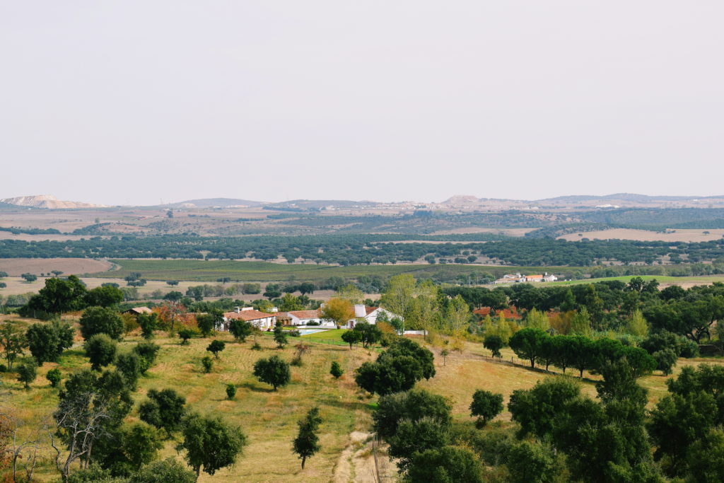
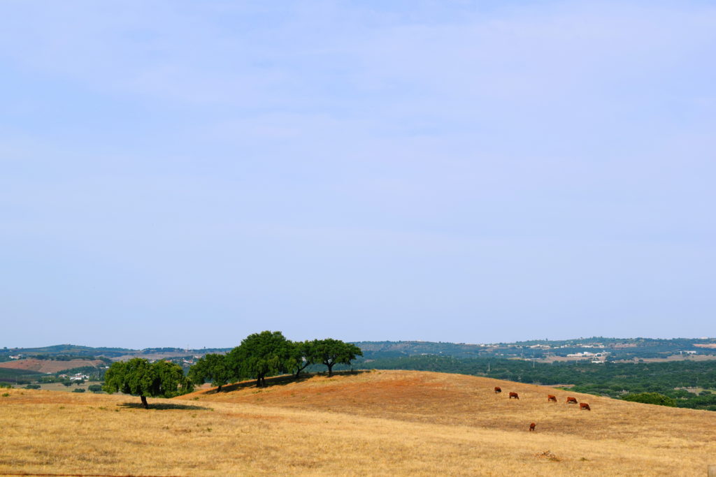
From my feet the landscape plunges downwards then settles into flat plains. Around five miles away in the distance I spot white mounds rising from the earth like collosal molehills – two, three, four I pick out across the landscape. To their left is the tower in Estremoz, a town perched on top of a hill, its bright white castle easy to make out against a light blue sky. Vineyards take up large portions of the otherwise sparsely populated land, their rows of vines so precisely straight they look like an army ordered to fall in line.
I’m still wheezing slightly. The trail to the top of the mountain steadily – relentlessly – climbs uphill, and it takes an hour of calf-burning ascent to reach the pinnacle. This hike is part of the Transalentejo, a network of eleven walking paths in the Portugal’s central Alentejo region. This particular range of hills, the Serra D’Ossa just northeast of Évora, is only 650m in height at its tallest. However, the initial path upwards is nonetheless a physical challenge, and when you reach the summit the ordeal is far from over. The temperature is lingering around 26°C, cool for this part of Portugal, but my t-shirt sticks to my back and the air feels far hotter.
Before setting off, we stop by the tourism office in nearby Borba to pick up a trail map. It’s October and tourists have long-since left this already quiet part of Portugal. The member of staff at the office jumps to our attention the moment we step in, as if he wasn’t expecting us, or anyone. We enquire about the hike and he produces a map, with a word of warning – ‘This is difficult,’ he says, looking in turn at myself and my partner Mike dead in the eyes, ‘but it’s the one we recommend to everyone. It’s worth it.’
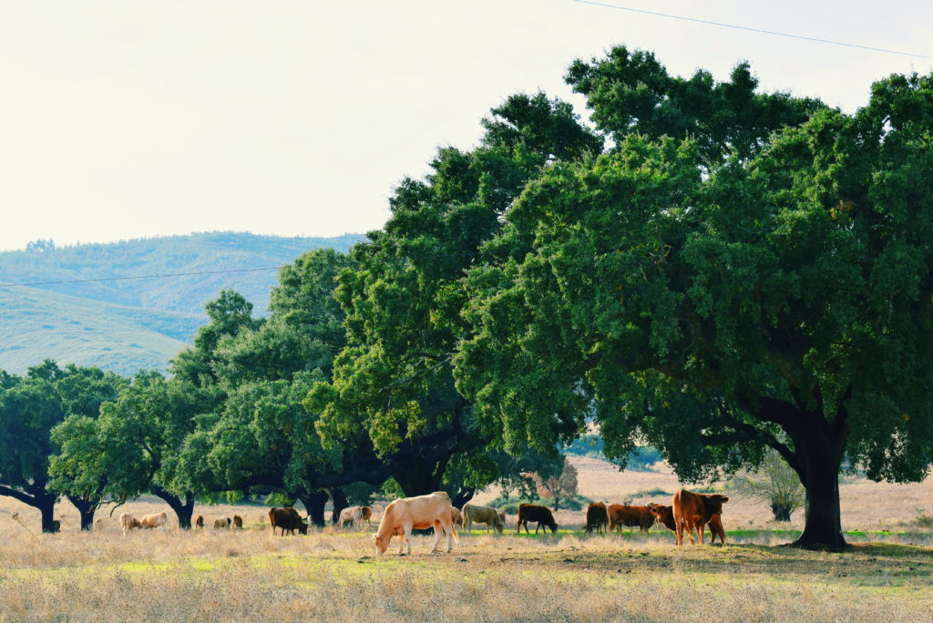
We shrug off his cautionary words. The map indicates it takes six or seven hours to hike the 17.3km route, but as we’re on a time limit we cut out the flat section from the village of Rio de Moinhos and start instead at the base of the hills, reducing our trekking time by two or three kilometres. As we begin to walk we pass groups of cows in the fields. One or two gently turn a head our way, continuing to munch on vegetation as they give us a curious look. We start out with a fast pace.
The Transalentejo hiking routes are marked with red and yellow stripes, which are painted on trees or large rocks. Giant tyre tracks on the path show that logging trucks have been recently working across the hills – we pass one making its way down the track about 20 minutes into the walk. Its throaty chug-chugging is the only sound we can hear. Not long after, we lose the markers as the trees either side of the trail have been torn down.
Only using the rudimentary map given to us by the tourist office we mistake the path a couple of times, wandering down other trails that snake over the hill. Spotting the Transalentejo markings becomes something of a game, a scavenger hunt across the almost deserted scenery. We pass a runner – the only person we encounter throughout the entire hike – who stops and asks, through laboured breaths in Portuguese, if we’re lost and need any help. Thankfully he points in the direction we had been walking in when we enquire about the route. He wishes us well and springs away, leaving strings of sweat droplets in his wake.
Finally we’re at the top of this first section, standing next to a trig point marking the end of our climb. We break to gulp down water and look out across the Alentejo scene. The marble quarries look like piles of sugar lumps. In reality the blocks of shimmering stone are metres wide, high and deep, stacked on top of each other in gigantic walls. These are what give the region’s marble towns – Estremoz and Vila Viçosa, also nearby – their signature look, but from here they seem of little significance. The sound of the logging trucks has disappeared, leaving nothing to pierce the silence of the mountaintop but our strained inhaling.
Our understanding before reaching this lofty section was that the trail plateaued across the tops of the hills, leaving the hard part over and done with. However, on reaching this point we look out to the track ahead to find sharply undulating hills, again and again, one after the other, for as far as we can see. My previously cavalier attitude is squashed, and the words of warning from our friend at the tourist office ring through my mind. This is what he meant by difficult, and there is no turning back now.
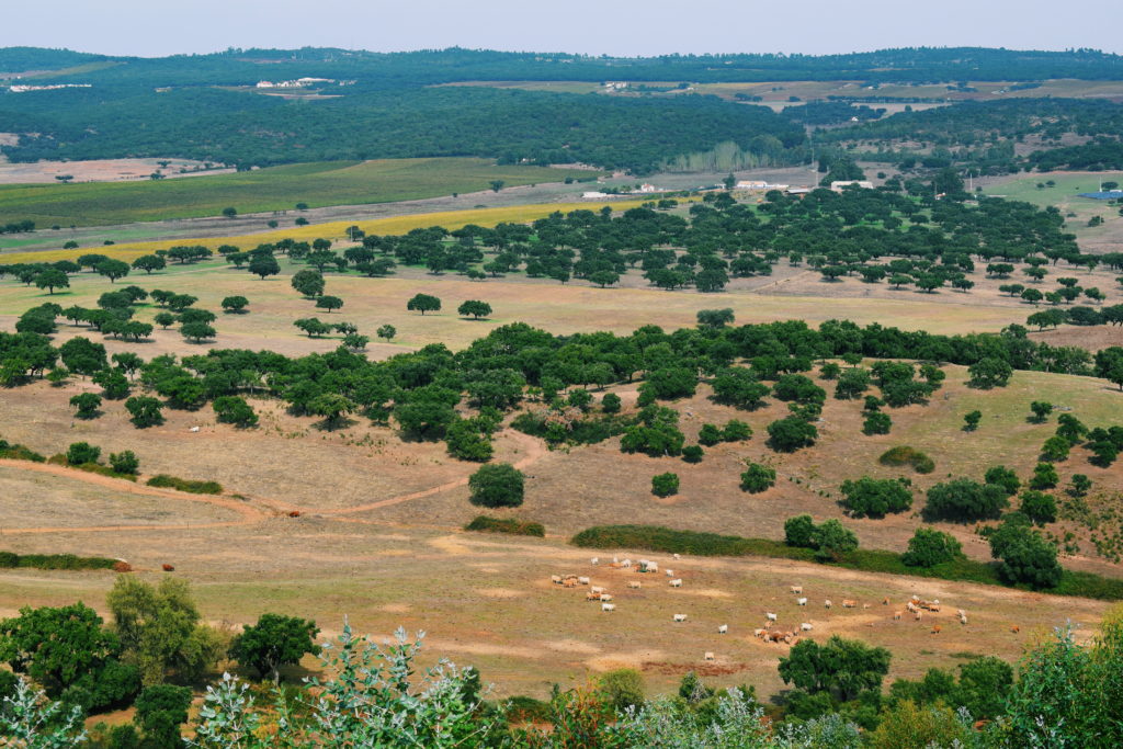
We talk as we tackle the hills, keen to distract ourselves from the punishing ups and downs. The sweeping scenery throughout this section also diverts our attention from the strenuous task, giving us a good excuse to stop and get our breath back after each passage of harsh gradient. I look down on those same cows that looked over at us an hour ago, now just tiny dots milling around a field below. To our right a eucalyptus forest sprawls down the gently sloping countryside, with more trails weaving through the gathering of trees. The path is a mix of stone and earth, and covers our ankles in dust.
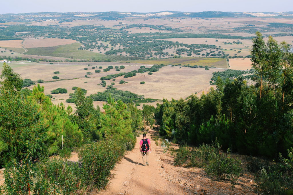
After six or seven hills, we reach the path that turns left down the side of the Serra and a new challenge confronts us. It took us an hour to ascend the western side of the hill, but this path taking us back down is so steep it’s only 15 minutes’ walk to the bottom. The path is so severe it tricks me into thinking I could topple straight forward at any minute. Stones slip underfoot, forcing us to tip-toe with tight, precise steps.
My knees and my back feel the strain – I sense pressure in both as I concentrate hard not to clump my feet down too quickly, resisting the momentum that would have me falling head-first over my own feet. The panorama of the countryside dead ahead is breathtaking; patch-worked, speckled with tufts of trees, and gently rolling. But it’s hard to pull my focus away from my steps and the hazardous terrain underneath them.
At the bottom I bend over, stretching out my back to relieve the knot at its base. My leg muscles shake slightly at the repeated action of an abrupt advance downhill. Straightening up, it feels odd to walk on flat ground again, but I bask in the ease of the last, deliciously flat, couple of kilometres. The cows are life-sized once more, and I can just about hear a logging truck whirring not so far away.
Advice for this Serra D’Ossa hike
It sounds difficult, but struggle is worth it for this Alentejo hike. This is an undeniably difficult walk, one that shouldn’t be tackled halfheartedly (as we did) or without some hiking experience. That said, taken slowly it’s an enjoyable day out near Évora. Here are some tips for your trek:
- Take water, and lots of it. There are no sources along the way.
- Bring sunscreen, no matter what time of year. The Alentejo is stiflingly hot and the sun is nearly always strong here.
- Don’t hike this in the height of summer. Temperatures soar well into the late 40s °C and this would be excruciating in that heat in the middle of the day. If you are around in July or August, consider setting off at the break of dawn so you’re not hiking in the middle of the day.
- If you need to cut the trail short, start at point four. The map we were given by the tourism office in Borba, which can be downloaded here, has a straight section from Rio de Minhos that we didn’t really think we needed to do. Instead, we started at point four on the map, and it took us around 3.5 hours to just do the loop. There’s a small lay-by here you can park in.
- There is a beehive directly next to the trail around two-thirds of the way up the hill. I was stung on approaching it, so if you’re allergic you might want to sit this one out.
Have you done any Alentejo hiking?
Would you do this trek?

Leave a Reply